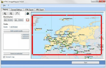
HTML ImageMapper NG10 is the easiest, fastest and most comfortable solution to
convert ArcGIS projects into attractive and interactive Online-GIS-applications.
With the Wizard-based ArcGIS-Extension, you export maps from ArcGIS to the
internet or intranet as well as to CD or DVD for use.
Comments